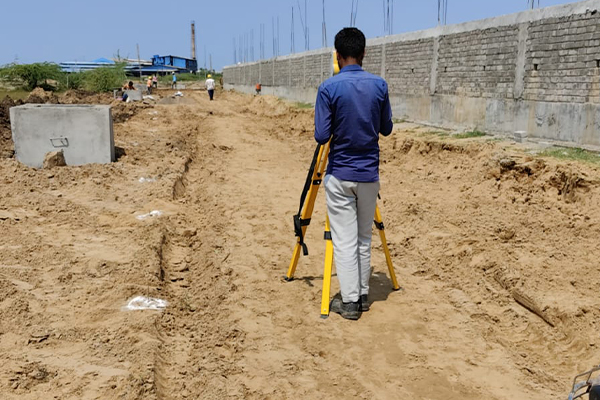
Land surveying is the art, profession, and science of precisely establishing a point’s location on Earth or in three dimensions, as well as the separations and angles between them. Licenced surveyors and other professionals in the building industry frequently engage in this work. Usually found on Earth’s surface, these points are frequently used for establishing land maps and borders for ownership, locations (such as building corners and the surface position of subterranean objects), and other civil law or government-mandated functions (such as property sales).
The process of carefully examining and recording data through field measurements, questionnaires, observations, legal instrument research, and data analysis in order to assist the planning, designing, and delineation of property borders is known as land surveying.


